Get to Know Us
Precision and Innovation in Geomatics: Empowering Zimbabwe's Land Development
Alseph Geosystems delivers precise, innovative surveying and mapping solutions tailored for responsible land development. Our team combines expertise, integrity, and patriotism to empower clients and communities alike.
As a team of Zimbabwean entrepreneurs, we are dedicated to providing accurate, innovative surveying and mapping solutions. Our services empower clients to make informed decisions and contribute to sustainable community development across the nation.
Trusted surveying and geomatics solutions tailored to advance Zimbabwe's infrastructure and land development initiatives.
Core Values & Strengths
Why Choose Alseph Geosystems
- Expertise-Driven Solutions
- Cutting-Edge Technology
- Comprehensive Departmental Focus
- Community-Centered Mission
- Commitment to Integrity
- Patriotic Dedication
- 24/7 Availability
- Nationwide Coverage
Available
Round-the-clock support for your project needs
Zimbabwe Coverage
Nationwide geomatics services
Trusted Precision
Latest surveying tools and techniques
Ready to discuss your surveying project?
+263 77 383 4279Our Industry
Leading Services in the Industry
Comprehensive surveying and geomatics solutions powered by cutting-edge technology and decades of expertise

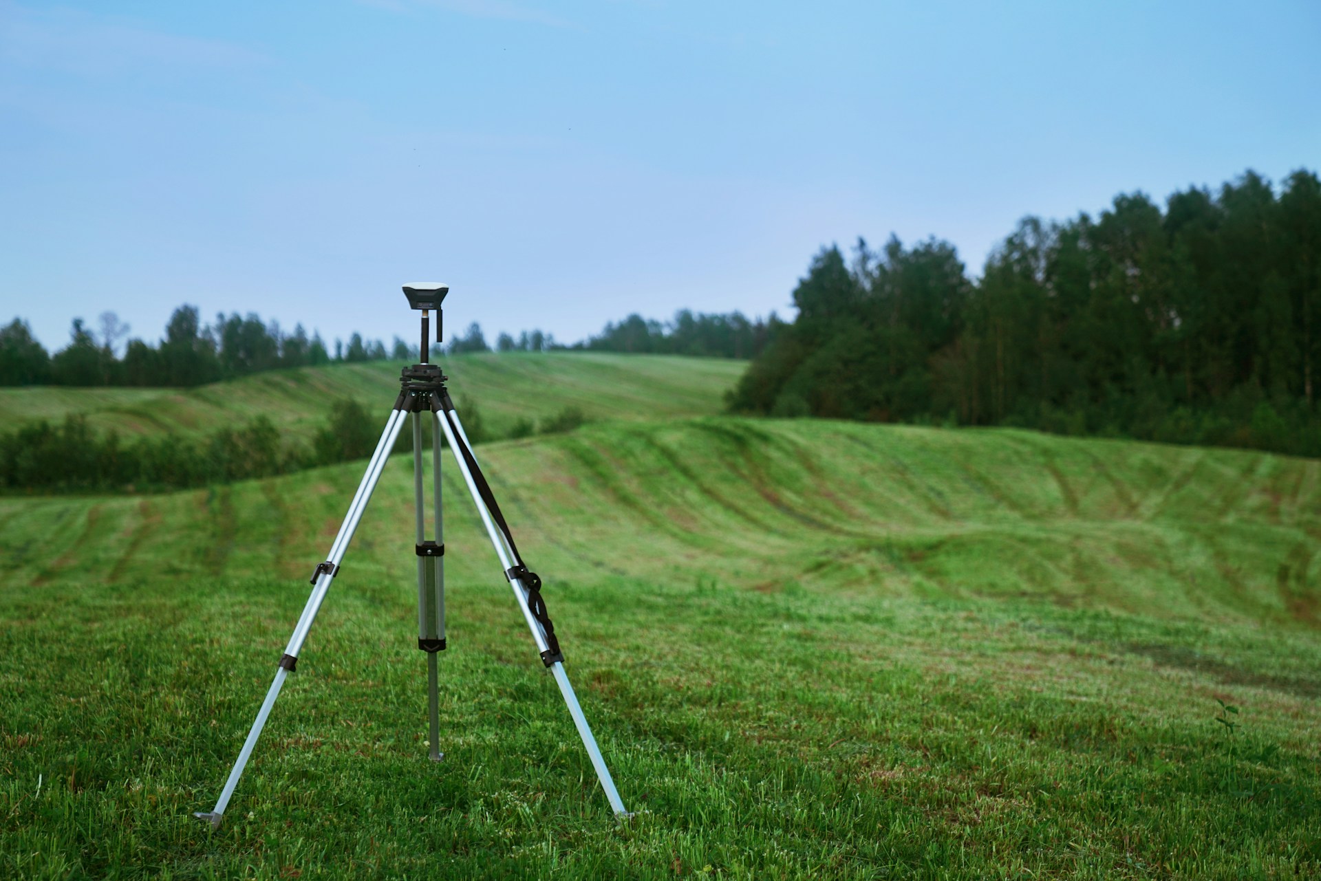
Topographical Surveying
Accurate terrain mapping and elevation data collection for informed land development decisions. We provide detailed contour maps, digital elevation models, and comprehensive topographic analysis.
- 3D terrain modeling
- Contour mapping
- Digital elevation models
- Volumetric calculations

Town Planning Consultants
Professional property boundary surveys and land parcel mapping for legal accuracy and secure land ownership. Essential for property transactions and dispute resolution.
- Township layout design
- Subdivision and consolidation of land Planning
- Change of land use applications

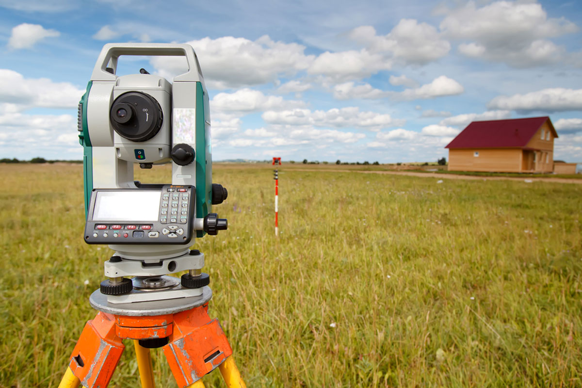
Engineering Surveying
Precision surveying for construction and infrastructure projects, ensuring perfect alignment and structural integrity. From highways to buildings, we support every phase.
- Construction layout
- As-built surveys
- Structural monitoring
- Infrastructure alignment
Mapping Services
Comprehensive GIS mapping and geospatial data analysis solutions empowering smart decisions for sustainable development. Modern mapping technology for modern challenges.
- GIS database creation
- Spatial analysis
- Digital mapping
- GPS control networks
Lines of Business
We Specialize in Serving Industries
A National Company
Alseph Geosystems is a national company committed to serving clients across Zimbabwe with its comprehensive range of geomatics services.
Real Estate & Property Development
Accurate surveys for property transactions and development
Urban Planning & Development
Data-driven insights for sustainable city planning
Environmental & Sustainability
Environmental impact assessments and monitoring
Transportation & Infrastructure
Highway and railway surveying expertise
Mining & Agriculture
Resource mapping and precision agriculture solutions
Construction & Civil Engineering
From foundation to completion surveying support
Why Choose Alseph Geosystems
Latest Surveying Tools
Unmatched precision with cutting-edge technology
Deep Local Knowledge
Tailored solutions across Zimbabwe
Ethical Conduct
Highest standards of service integrity