About
Get to Know Us
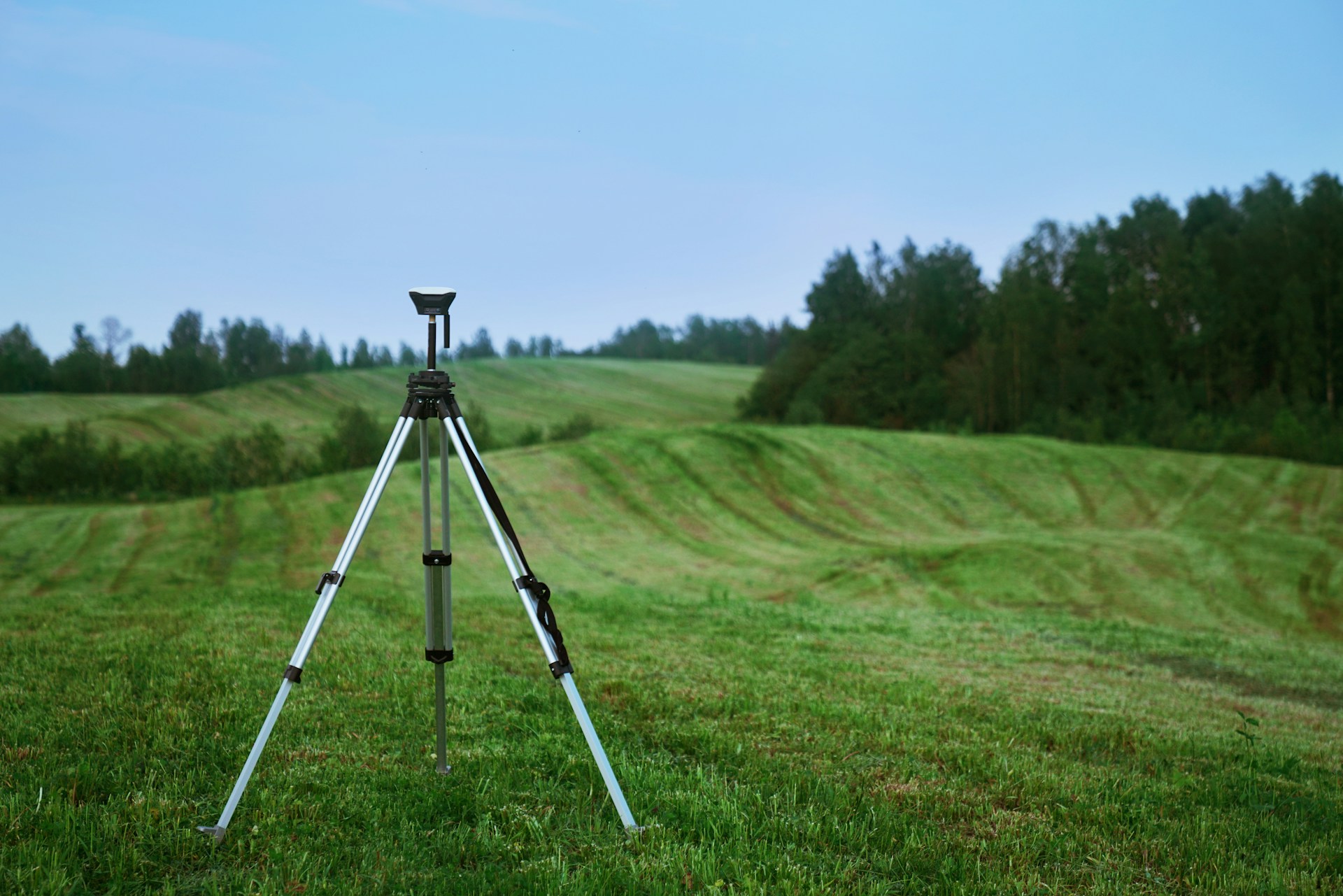
Precision and Innovation in Geomatics: Empowering Zimbabwe's Land Development
Alseph Geosystems delivers precise, innovative surveying and mapping solutions tailored for responsible land development. Our team combines expertise, integrity, and patriotism to empower clients and communities alike.
As a team of Zimbabwean entrepreneurs, we are dedicated to providing accurate, innovative surveying and mapping solutions. Our services empower clients to make informed decisions and contribute to sustainable community development across the nation.
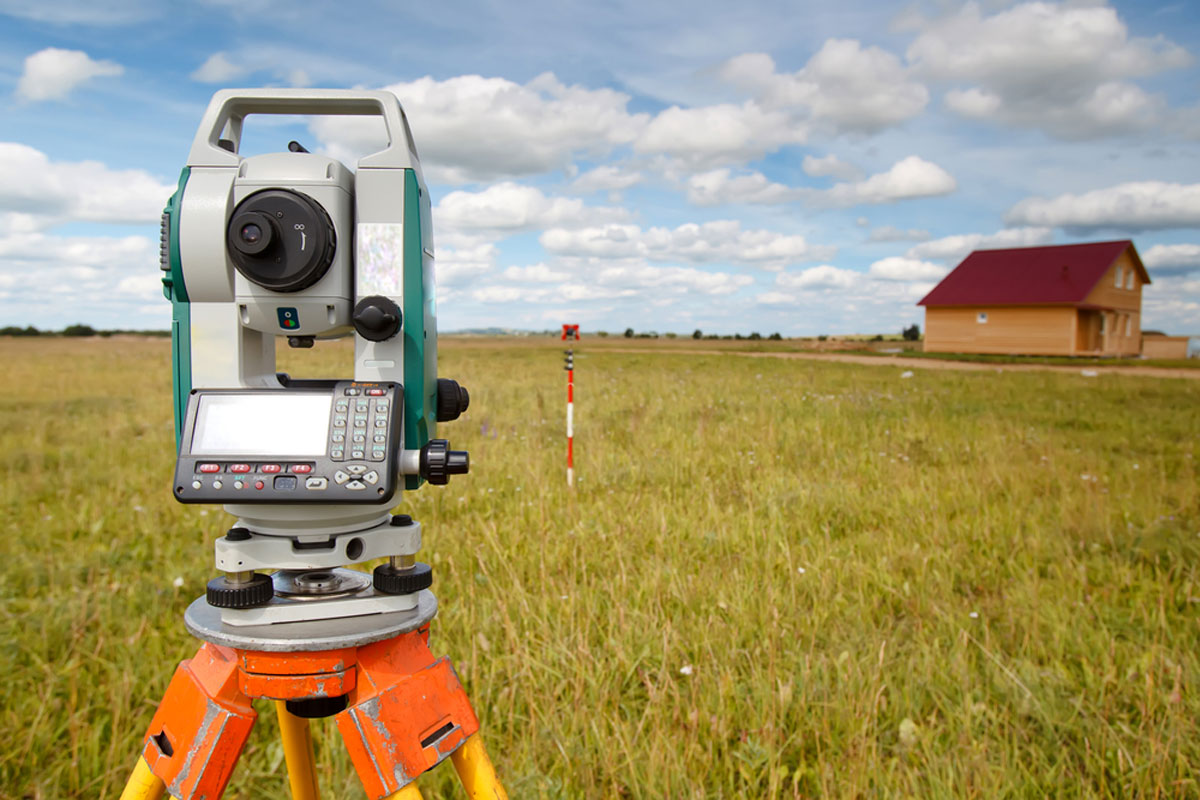
Trusted surveying and geomatics solutions tailored to advance Zimbabwe's infrastructure and land development initiatives.
Core Values & Strengths
Why Choose Alseph Geosystems
- Expertise-Driven Solutions
- Cutting-Edge Technology
- Comprehensive Departmental Focus
- Community-Centered Mission
- Commitment to Integrity
- Patriotic Dedication
- 24/7 Availability
- Nationwide Coverage
Available
Round-the-clock support for your project needs
Zimbabwe Coverage
Nationwide geomatics services
Trusted Precision
Latest surveying tools and techniques
Ready to discuss your surveying project?
+263 77 383 4279